Back to Moab
I called the BLM in Price this morning to see about the Nine Mile Canyon road. This is a 40-mile canyon that has petroglyphs scattered along its entire route. I have been looking forward to this part of the trip for a long time. The BLM person said they had gotten a lot of rain, and water was still flowing across the road in several places. We could probably get down the road with high clearance, but everything would be very muddy. That didn't seem like a good situation, and more rain was predicted starting on Tuesday.
 There
was no reason to hang around in Green River, so we decided to move to Moab. Our destinations
around Moab are nearly all on paved roads or well-maintained gravel roads. At least we could get out and do things. As we drove east,
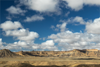
puffy cumulus clouds floated in clear blue skies over the Book Cliffs. It was a beautiful morning.
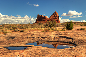
I've been getting flash flood alerts for the Moab area over the past week, so we knew they had a significant amount of rain. That should ensure that the potholes in the slickrock washes should be full. In 2010, we were in Moab right after heavy rains, and we loved our images from the wash above The Organ. As soon as we got set up in our campground in Moab, we drove to Arches to check out the area where we shot in 2010. As we hoped, the potholes throughout the wash were filled with water. The lighting is much better at sunrise, but we enjoyed exploring the area and looking for new areas to shoot the puddles.
 |
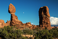
As the golden hours of warm light approached, we moved to the Balanced Rock area. By walking down the wash just west of Balanced Rock, we could shoot the warm light on the formation with the moon rising between the balanced rock and the spire that rises near it. The moon was still pretty faint in the late afternoon sky, but it gave us a head start for moonrise at sunset later in the week.
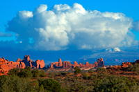
While I was wandering around the wash, I noticed the warm light on the Windows section down the wash. Turret Arch stood on a small ridge above the western junipers and pinyon pines that lined the wash. Above it all towered a massive cumulus cloud that covered the La Sal Mountains. It was a very striking scene.
 |
 |
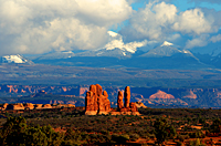 |
| Balanced Rock | The Windows Section | Spires in Front of La Sal Mountains |
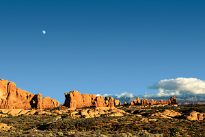
We drove toward the Windows Section to take advantage of the good light. We stopped along the road![]() before it dropped down
into the canyons to shoot the arches formations at the edge of the Windows Section. Most of the clouds had blown off of the La Sals, the moon
watched over the scene from above, and we could pick out Turret Arch and Cove Arch in the scene below. We made a couple of more stops along the road before
we reached the Windows Section. There were so many people that we couldn't find a parking place, so we just drove through. We have lots
of images from this area, but I'm very interested in exploring the area between Balanced Rock and the Windows Section for new places to shoot.
before it dropped down
into the canyons to shoot the arches formations at the edge of the Windows Section. Most of the clouds had blown off of the La Sals, the moon
watched over the scene from above, and we could pick out Turret Arch and Cove Arch in the scene below. We made a couple of more stops along the road before
we reached the Windows Section. There were so many people that we couldn't find a parking place, so we just drove through. We have lots
of images from this area, but I'm very interested in exploring the area between Balanced Rock and the Windows Section for new places to shoot.
We returned to Balanced Rock to shoot sunset, but we timed it a little too close and only had about two minutes of good light.


