Waterfall Day
Today, we explored the southern portion of the park from Yellowstone Lake to the southern entrance to Yellowstone.
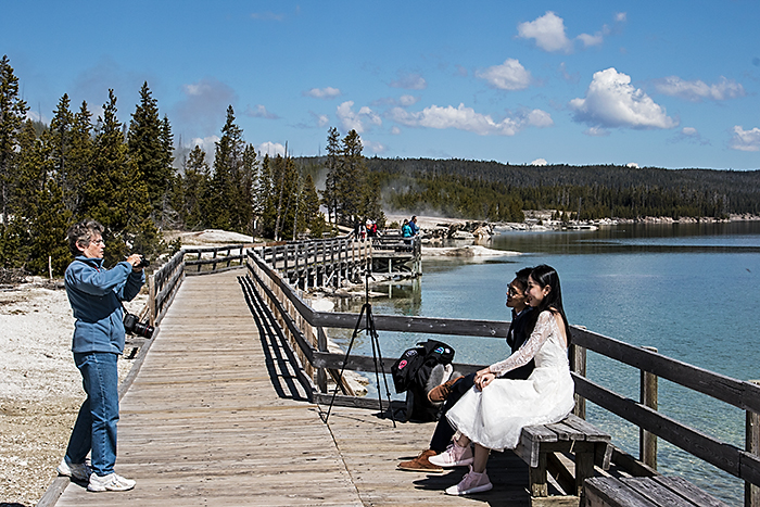
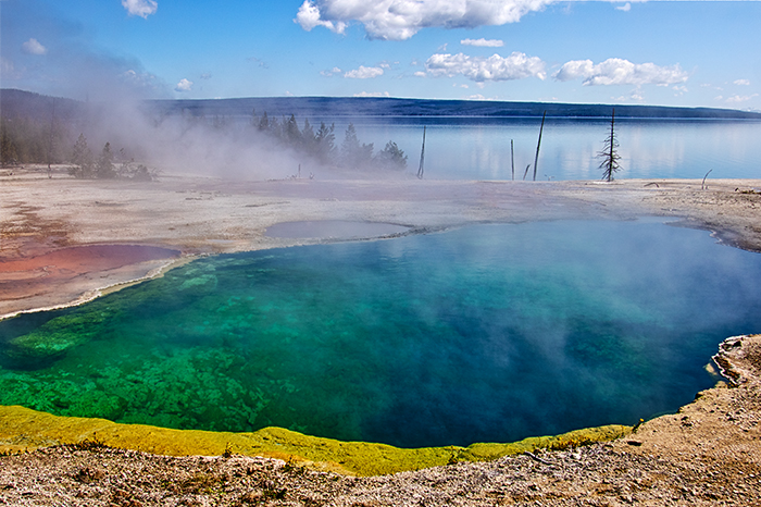
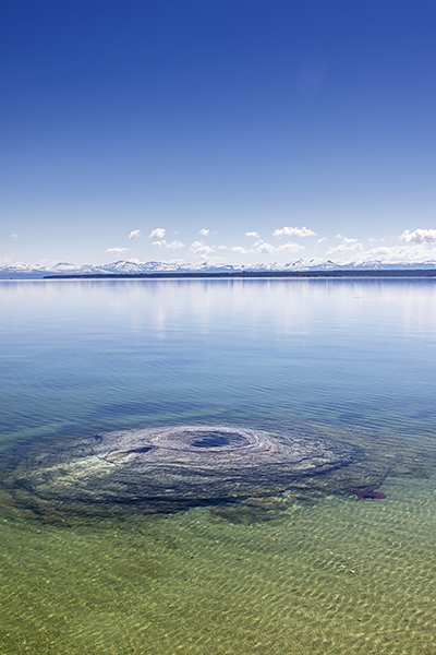
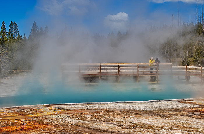
Our first stop was the West Thumb Geyser Basin. It's the location rather than the geysers that are impressive here. West Thumb is on the western shore of Yellowstone Lake, and our view to the west was across the lake to the snow-covered Absoroka Range. Nearly all the geysers are dormant now, but Abyss Pool and Black Pool were both impressive for their turquoise color. The most interesting geyser was Fishing Cone; not because of its current eruptions but because of its history. Mountain men who trapped in this area told stories of an alpine lake where you could catch your fish, swing the pole around, and cook it in a boiling pool without taking the fish off the line. This "cooking-on-the-hook" became a "thing" and visitors dressed up in a cook's hat and apron to get their pictures taken at "Fish Pot."
 |
 |
 |
The most interesting thing at West Thumb was a young Asian couple who were trying to do a self-portrait with the lake as a background. The lady was all dressed up in a gorgeous white, lacy dress, which she wore with light pink sneakers. The guy was wearing a nice, dark suit with a bow tie, and he was wearing brown shoes. They might have been on their honeymoon. The guy seemed a little nervous to be with this beautiful lady and her fancy dress. Carol stepped in and took their picture when it became clear they were having challenges with the camera. It turned out to be one of my favorite "moments" of the trip.
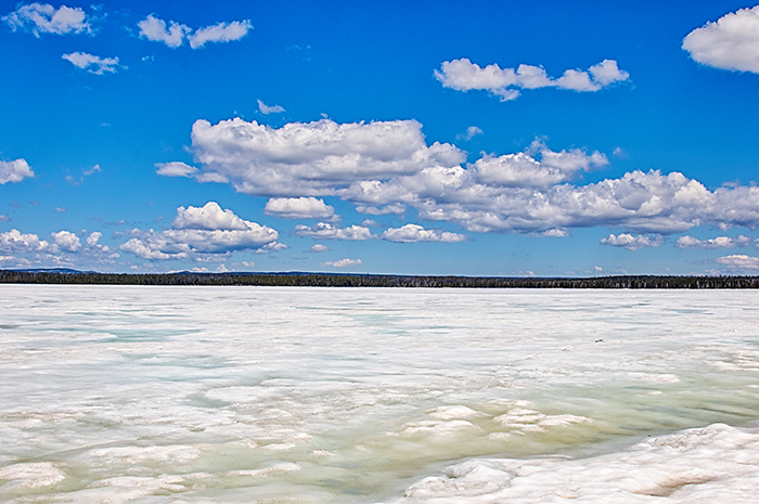
Continuing south, we passed the frozen expanse of Lewis Lake. This is a huge lake, but it was nothing but miles of white, featureless ice. It was like looking across a white desert.
The Lewis River (like all the rivers in Yellowstone) was running full with the snow melt, so Lewis Falls was showing off its power. Lewis Falls is actually more of a cascade, but the river was roiling, white water as it careened off the rocks and into the pool below. After the Lewis River crossed under the road, it meandered across a snow-covered meadow on is way to join the Snake River. Our final stop on our southern exploration was Moose Falls on Crawfish Creek. Moose Falls drops 30 feet over a volcanic cliff and joins the Lewis River just downstream.
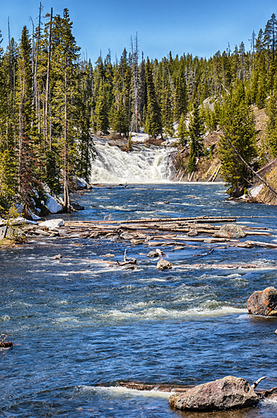 |
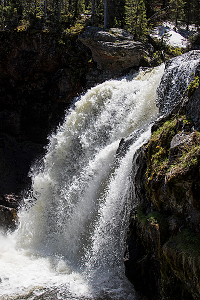 |
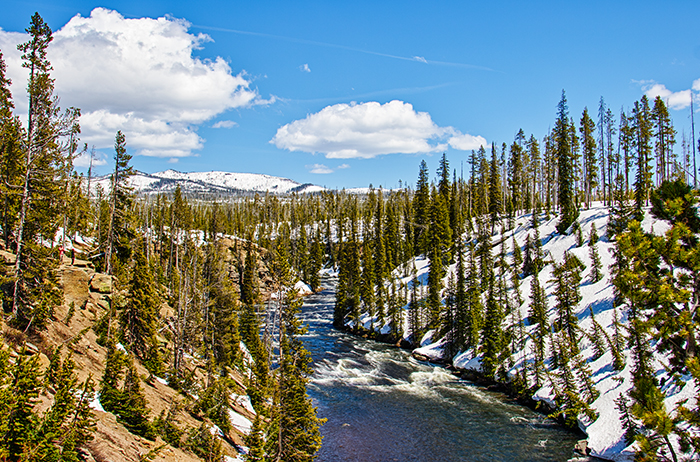
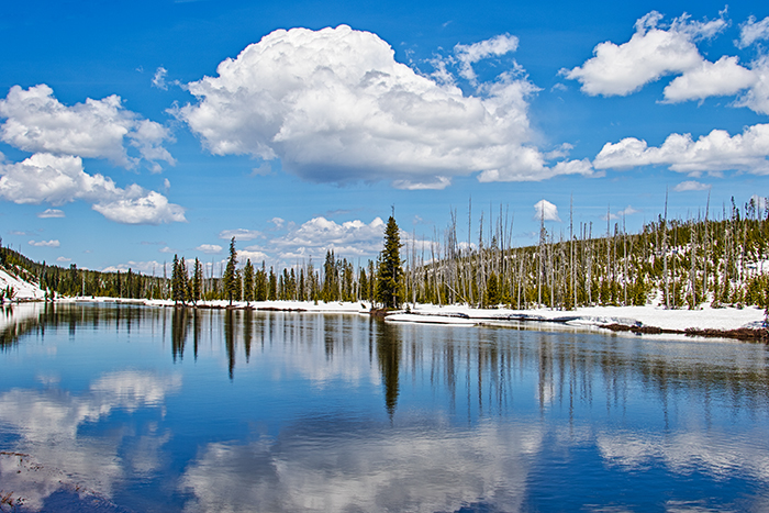
As we drove back north, we stopped along Lewis Canyon to look down on the Lewis River. Our first stop was a grim reminder of last year's fires that cancelled our trip. Only the snow covering the ridges softened the bleakness of the area. Farther upstream, we photographed a snow-covered area of the river that hadn't been burned. Although we had to climb an 8-foot snow bank next to the road, we managed to hike into a meadow along the Lewis River. The entire area was still under over a foot of snow, and the river was a sheet of glass reflecting the clouds and the trees that surrounded it. A fire had burned through the area, but new lodgepole pines were starting to spring up and add promise for the future.
 |
 |
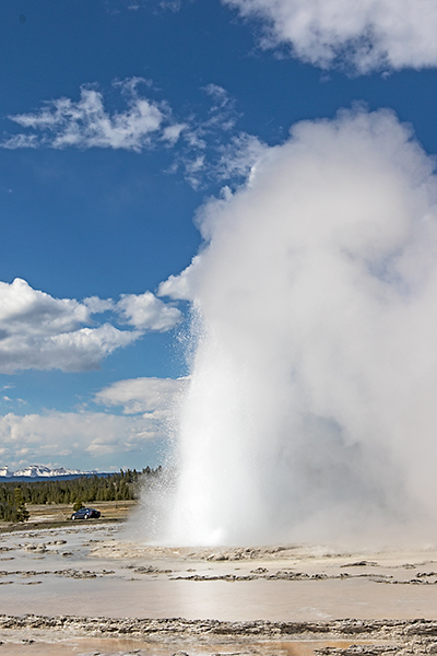
The road to Firehole Lake was finally open today, so we drove in to check out Great Fountain Geyser. Evidently, it erupted shortly before we arrived, but we enjoyed some minor eruptions that followed. Great Fountain Geyser has the potential for great images because the surrounding terraces hold the water in small pools that reflect the surroundings and light. One of my favorite images of Yellowstone is of Great Fountain Geyser at sunset with the sunset oranges reflected in the water. Today, we had no such lighting, and a breeze ensured there would be no reflections.
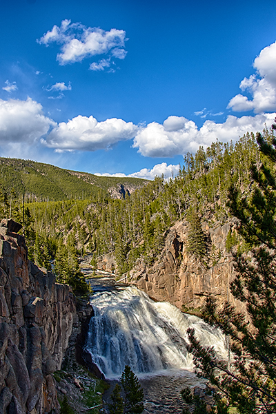
As we reached Madison Junction, we were entering familiar territory. Our first stop was Gibbon Falls. We had passed this area several times last week, but today the light was right to shoot the falls. When we pulled in, we were pleasantly surprised by all the work the Park Service had done to renovate the area. They did an outstanding job! In the past, I always felt like I was putting myself at risk to get the best angle of the falls because I had to stand right at the edge of the road with a cliff dropping off right in front of me. Now, they have re-designed and re-graded the area to provide walkways to the best areas with a stone wall to separate the traffic from people walking around the overlooks.
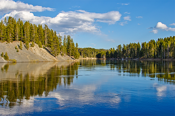
Our final stop of the day was the Yellowstone River S-curve at Otter Creek. Puffy cumulous clouds floated overhead, and the Yellowstone River was in perfect mirror-mode.


