Carrizo Plain National Monument
The weather forecast for this week doesn't sound too promising. Today is the only day when good weather is forecast. Our top priorities for today were the Temblor Range where we saw the best displays in 2017 and Shell Creek.
Although longer, we drove through Taft and up to Highway 58 to enter the Carrizo Plain National Monument from the north. We climbed from the valley around Taft up to a pass and then dropped down into the Carrizo Plain. It was a beautiful drive today with the hills a mixture of emerald green grasses and drifts of wildflowers. The steepness and all the curves meant a leisurely drive with the time to appreciate the yellow, purple, white, and blue patches of wildflowers.
As soon as we dropped over the pass, bright, yelllow wildflowers completely covered the hills. It took us three stops just to reach the bottom of the hill.
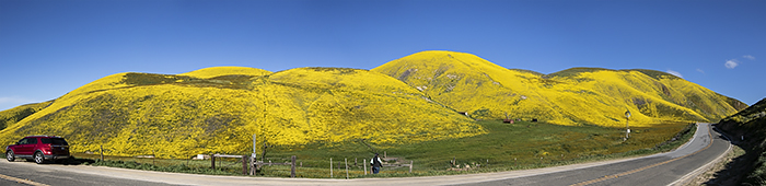
We turned onto Elkhorn Road and drove along the base of the Temblor Range where we saw the amazing wildflower displays in 2017. When we reached the trailhead to hike up the ridge for the best views, there was a new sign that said "Posted No Trespassing." There were cars parked at the trailhead, and we saw someone hiking up the trail, but we decided to honor the sign. I know the land is private land, and we wanted to respect his land. I tried calling the Visitor Center to get more information, but it was only open Thursday to Sunday.
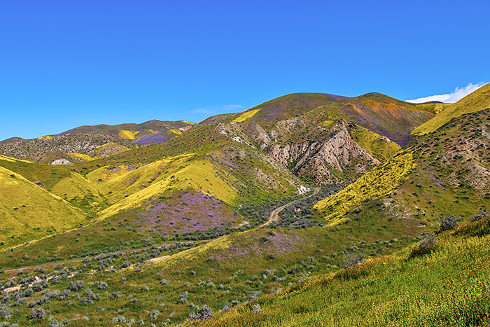
We continued down Elkhorn Road to the next road that approached the Temblor Range. We climbed a ridge and photographed the canyon and mountain
where the famous "God Spilled the Paint" photograph was taken in the early 2000's. The wildflowers weren't nearly as vibrant as 2017,
but it was still pretty impressive. The poppies were just beginning to bloom on the mountainsides, so there wasn't the contrast of colors this year.
It might have been better the following weekend. It was a gorgeous morning, and we had the area to ourselves most of the time.
 |
 |
 |
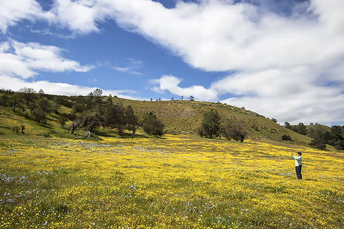
| Hillsides along Highway 58 | Temblor Range | Temblor Range |
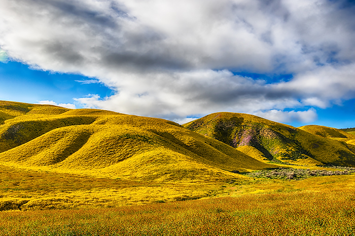
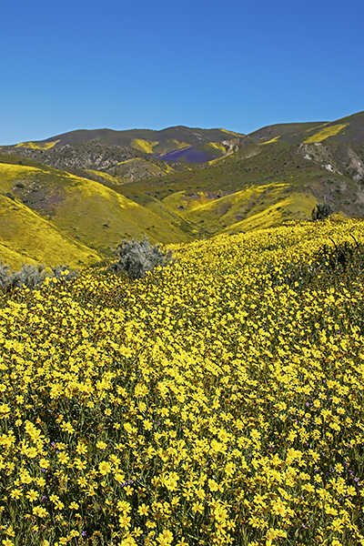
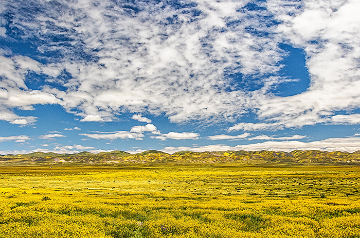
We dropped down into the Carrizo Plain and crossed to the western side on Simmler Road. There were several places where cars who tried to cross the plain earlier in the month had been buried in mud. I read that tow trucks were charging up to $1,000 to drag cars out of the clay quagmire a couple of weeks before we were there. The view looking across the Carrizo Plain back toward the Temblor Range was a sea of yellow daisies.
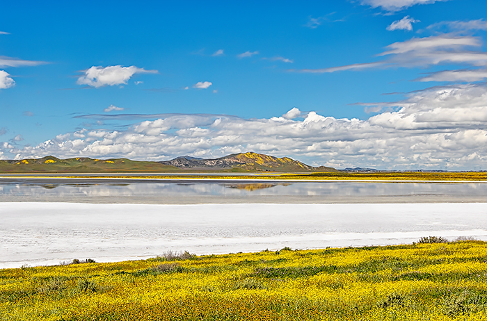
Our final stop in the plain was looking across Soda Lake toward the hills on the western side of the vally. The contrast between the salts surrounding the lake, the yellow wildflowers, and the blue skies created a vivid image. The reflection in the lake added to the affect.
 |
 |
| Carrizo Plain | Soda Lake |
Shell Creek
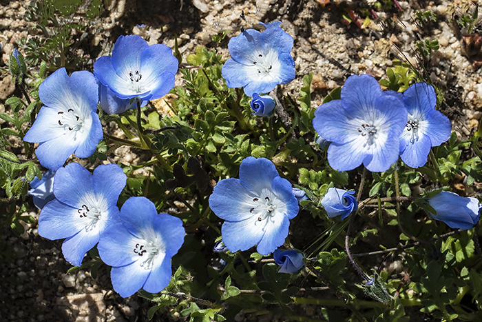
We followed a valley west on Highway 58 to Shell Creek. This used to be a well-kept secret, but social media has changed that drastically. Even on a Tuesday, we had lots of company. Shell Creek is a meadow of low rolling hills along an intermittent stream. Shell Creek had some good areas of wildflowers, but not nearly as good as the last time we were there. Nearly all the wildflowers were in the yellow and gold range this year with far fewer varieties of flowers. Despite the crowds, the meadows showed very little damage and most of the people were careful to stay on trails. It was certainly different than we saw at Lake Elsinore a couple of weeks ago.
 |
 |
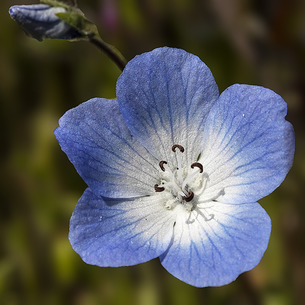 |
| Shell Canyon | Baby Blue Eyes | Baby Blue Eyes |
 |
 |
 |
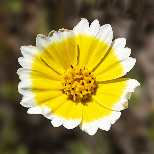
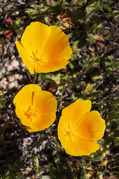
| Tidy Tips | California Poppies | Carol at Shell Canyon |
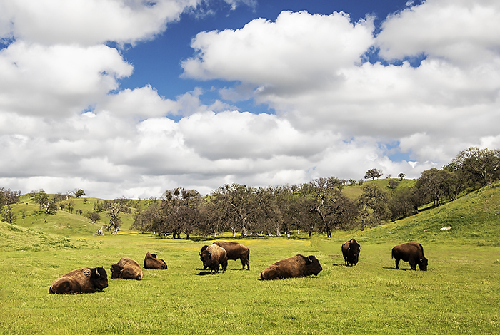
The Camatta Ranch provided the biggest surprise of the trip. As we drove back toward Taft, we saw a herd of bison right along the highway.